Bruce Trail
- Ontario, Canada
900km
900km
30 to 35 days as a thru-hike
Very few on-trail options for camping. See notes below.
Safe for solo hiking or hike with friends! Group hikes available through the Bruce Trail Clubs also!
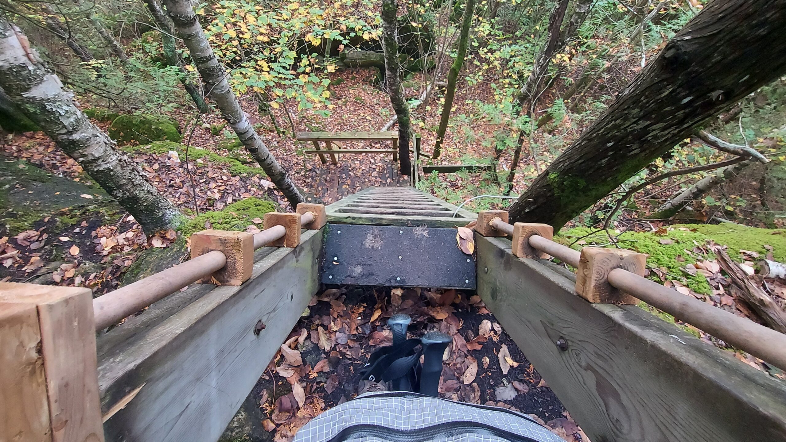
Easy road walking to difficult and technical - steep climbs, negotiating rocks and rock faces, some tight spaces.
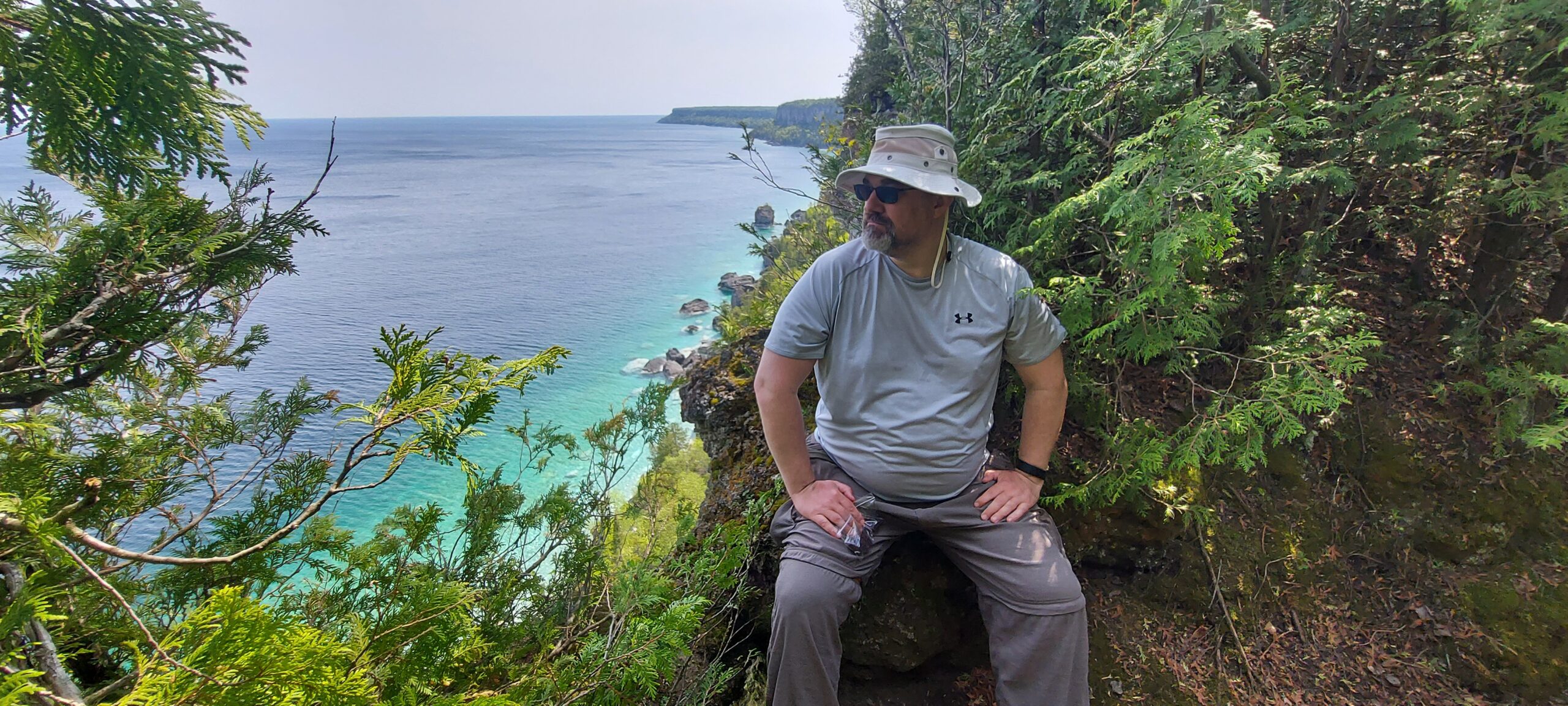
The Bruce Trail is the oldest and longest marked hiking trail in Canada, going from the Niagara River to the tip of Tobermory, Ontario. The main trail is more than 890 km (550 mi) long and there are over 400 km (250 mi) of associated side trails. The trail mostly follows the edge of the Niagara Escarpment, one of the nineteen UNESCO World Biosphere Reserves in Canada. The land the trail traverses is owned by the Government of Ontario, local municipalities, local conservation authorities, private landowners, and the Bruce Trail Conservancy (BTC).
Source: https://en.wikipedia.org/wiki/Bruce_Trail
Follow along with me as I hike the Bruce by watching my videos on YouTube!
Communications
I hiked the Bruce Trail in its entirety over a 3 year span from May of 2019 to May of 2022. In that span, I encountered very few locations that didn’t have cell signal but they do exist. There were a few dead zones for data coverage in the Beaver Valley and Sydenham sections but the largest gap was from Cape Chin all the way up to Tobermory with only sporadic cellular coverage. Highly recommend carrying a Garmin InReach or similar device to keep you in touch with a point of contact in case of emergency.
Accommodations
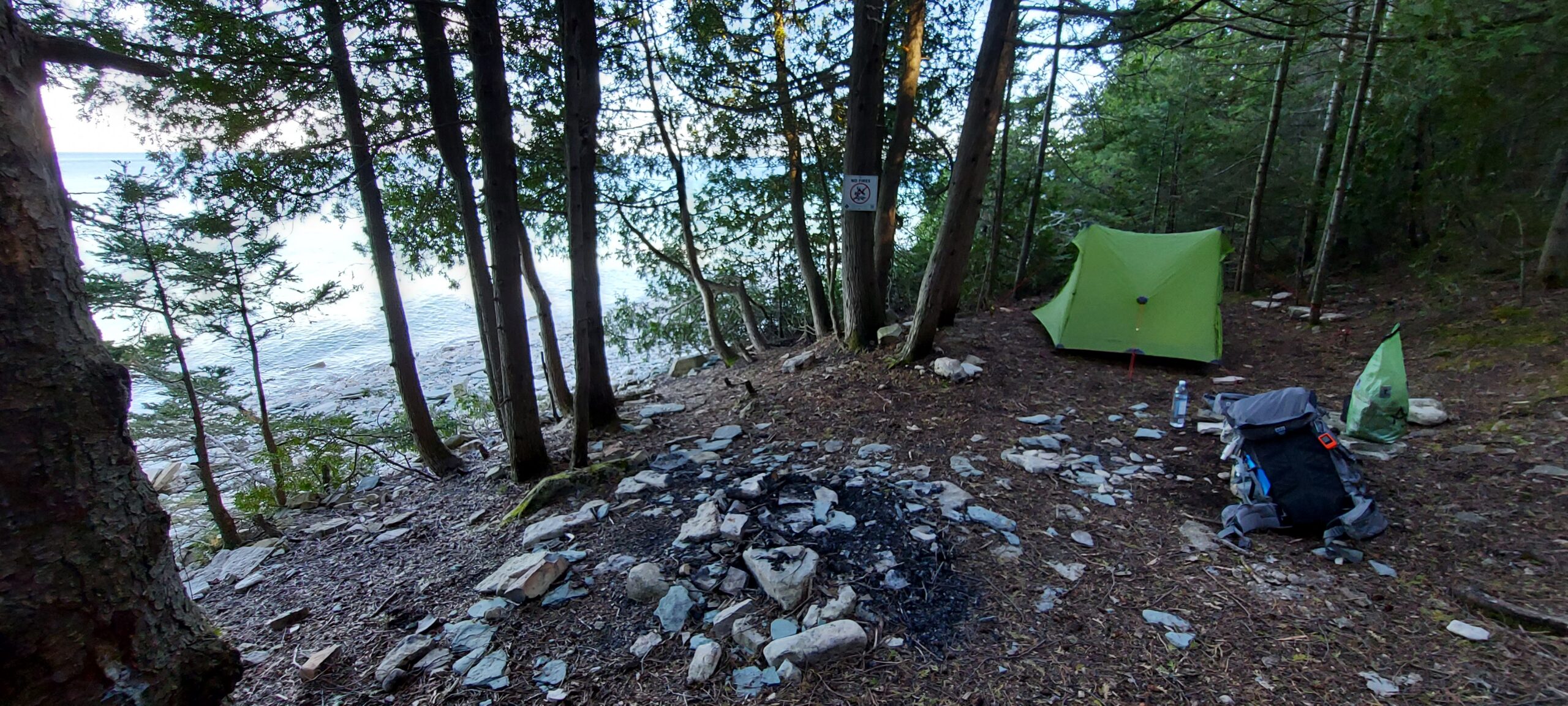
On-trail camping is forbidden except where explicitly marked in Overnight Rest Areas. There are very few but the Conservancy has promised to make the Bruce Trail thru-hike capable with Overnight Rest Areas in all the club sections by 2035. There has not been any further word or update on this since its initial release in the Fall of 2024.
To help you with your accommodations, I suggestion reviewing the trail against nearby hotels, motels, AirBnB’s as well as checking out sites like hipcamp.com. In addition to those options, I have had great success contacting churches along the trail and asking permission to pitch my tent on their property. If you opt to pursue this, do it with lots of advance notice as in each case, when contacting the priest/pastor/minister, they had to take the request to the church board for approval.
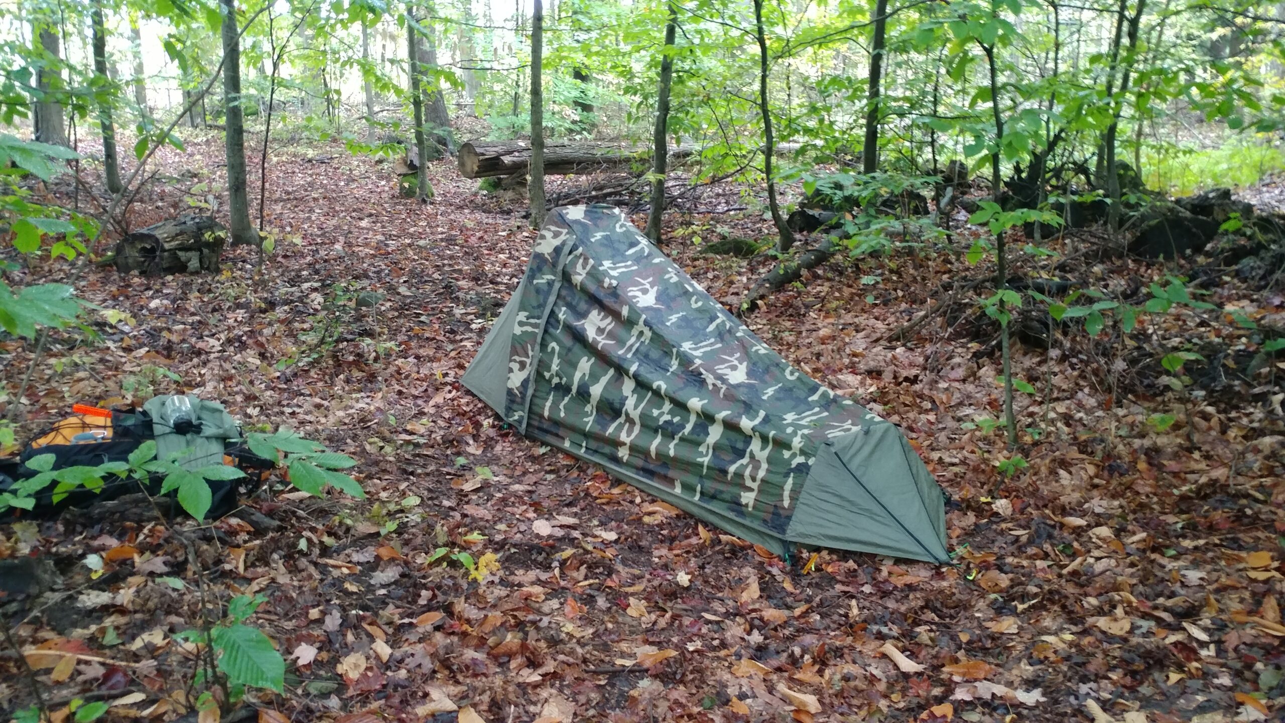
If you must camp on-trail due to whatever circumstance, avoid private property. Keep to Conversation Areas, Provincial/National Parks, and public forests. Do not camp directly on the trail itself, stay at least 10m off trail and of course, leave no trace.
Other Considerations: Physical Preparation and Water Sources
The Bruce Trail can be hiked by anyone, of any physical condition. I would however, strongly suggest to self-evaluate and understand the terrain of whatever section you intend to tackle.
The Bruce Trail Conservancy has developed an app available for Android and iOS users that can show elevation changes, track distances and provide real-time trail information in terms of closures, camping and parking options. Additionally, the Bruce Trail guide – available directly from the Conservancy – would be a great source of information in planning your outing(s) as well as provide more history and information on the sites and areas you will be hiking through.
Generally, those I have spoken to – both in person and on social media – have all preferred a NOBO (Northbound) approach to hiking the Bruce rather than a SOBO (Southbound) approach. Although NOBO hikers will experience more elevation gain, the views and scenery get better and better as you hike along the trail and to end in Tobermory and a cold beer at the Tobermory Brewing Company is well worth it!
As for water sources, there are sections of the trail that you’ll need to plan your water consumption and refills carefully. Weather will also have a great deal to say as to whether creeks are viable options or simply dried up. The Summer of 2019 and 2020 were exceptionally hot and some of the smaller creeks that run across the Trail along the Niagara Peninsula were all dried up. Additionally, after climbing up to the top of the escarpment from Wiarton, there were NO water sources that I encountered at all. I had to wait for the trail to dip back down to the edge of Georgian Bay before I could fill my water bottles again.
Club Link: niagarabrucetrail.club
The Niagara Club will span 83 KMs from the Southern Terminus of the trail in Queenston, Ontario (just outside of Niagara Falls) to Grimsby where it meets the Iroquoia Club boundary.
Accommodations
On-trail or near-trail options are very limited. In Short Hills Provincial Park, there is the Wetaskiwin Camp (swocamps.ca/camps/wetaskiwin/home.html).
Aside from that, Uber and/or taxis can be used to get to/from the trail and to/from your choice of overnight accommodation.
Trail Highlights
There are a lot to list here. There's an old radar dish tower soon after starting the trail - very cool to check out. You also hike alongside one of the original canals that were used prior to the current Welland Canal.
You will hike around Lake Moodie, you can check out DeCew Falls, Short Hills Provincial Park (a beautiful park) and Terrace Creek Falls (within the park), Swayze Falls, Rockway Conservation Area and Rockway Falls, Ball's Falls and Conservation Area, and Cave Springs to name a few.
Club Link: iroquoia.on.ca
The Iroquoia Club spans 122 KMs from Grimsby, to Appleby Line at Campbelleville Road - just across the street from Hilton Falls Conservation Area.
Accommodations
There are no on-trail camp options however, there are some nearby campgrounds that can be booked:
Coral Park Campground - roughly a 2.5KM roadside walk down Derry and McNivern Roads (no website but you can call them at 905-878-1484)
Rattlesnake Point Conservation Area offers group camping only and permission must be obtained in advance.
Link: conservationhamilton.ca/camping
Both of these options are near Crawford Lake.
The Iroquoia Club runs through a fairly well populated area so finding Uber/taxi service to/from the trail should not be too difficult to arrange.
Trail Highlights
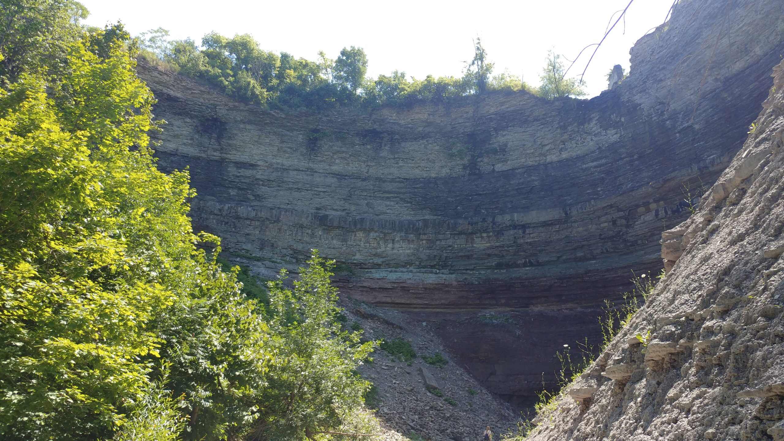
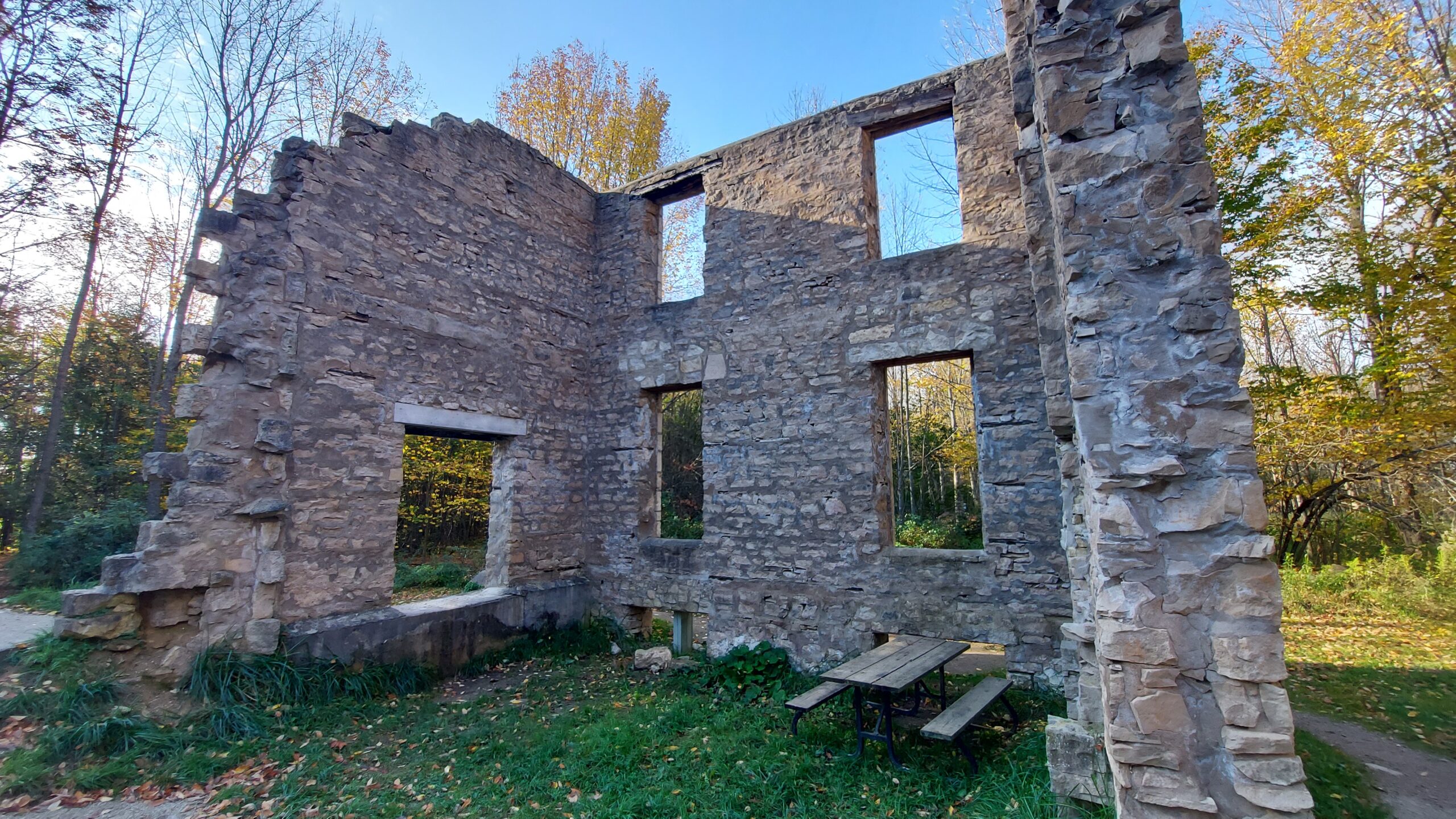
In addition to hiking through some very nice Conservation Areas, a few highlights in this club would be the Devil's Punchbowl, Felker's Falls and King's Forest, Chedoke Falls, Washboard Falls, Tiffany Falls, Sherman Falls, Canterbury Falls (are you getting a sense of a theme here?) Dundas Valley Conservation Area and the ruins of the Hermitage, Rock Chapel and Borer's Falls, Smokey Hollow Waterfall, Mount Nemo, Cedar Springs, Crawford Lake and Rattlesnake Point Conservation Area and finally Kelso Conservation Area that brings you up to the crest of the escarpment for a fantastic view.
Club Link: torontobrucetrailclub.org
The Toronto Club is the shortest of the club sections at "only" 50 KMs. As like all the clubs, there are many side trails that can also be explored.
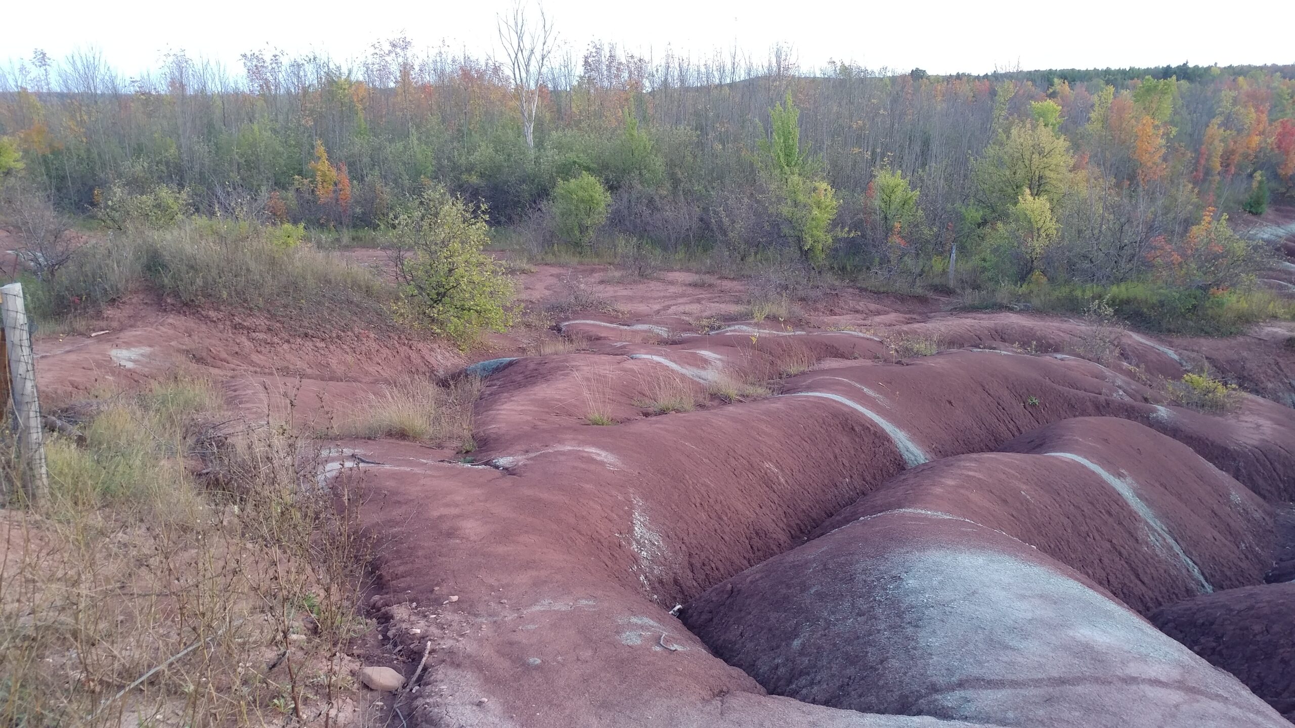
The section will start off of Appleby Road and end on Creditview Road just where the Bruce Trail turns off the road and heads into the tree line and into the Cheltenham Badlands.
Accommodations
50m off the Duff Pit Side Trail right outside Scotsdale Farm is the Silver Creek Overnight Rest Area. This is a new ORA since I did my End-to-End but it claims to have room for 1-2 tents and a back country latrine.
12KMs down the trail (NOBO), there is another Overnight Rest Area in Terra Cotta Conservation Area. Hikers must contact Credit Valley Conservation (cvc.ca) at least 24hrs in advance but there is no fee.
Trail Highlights
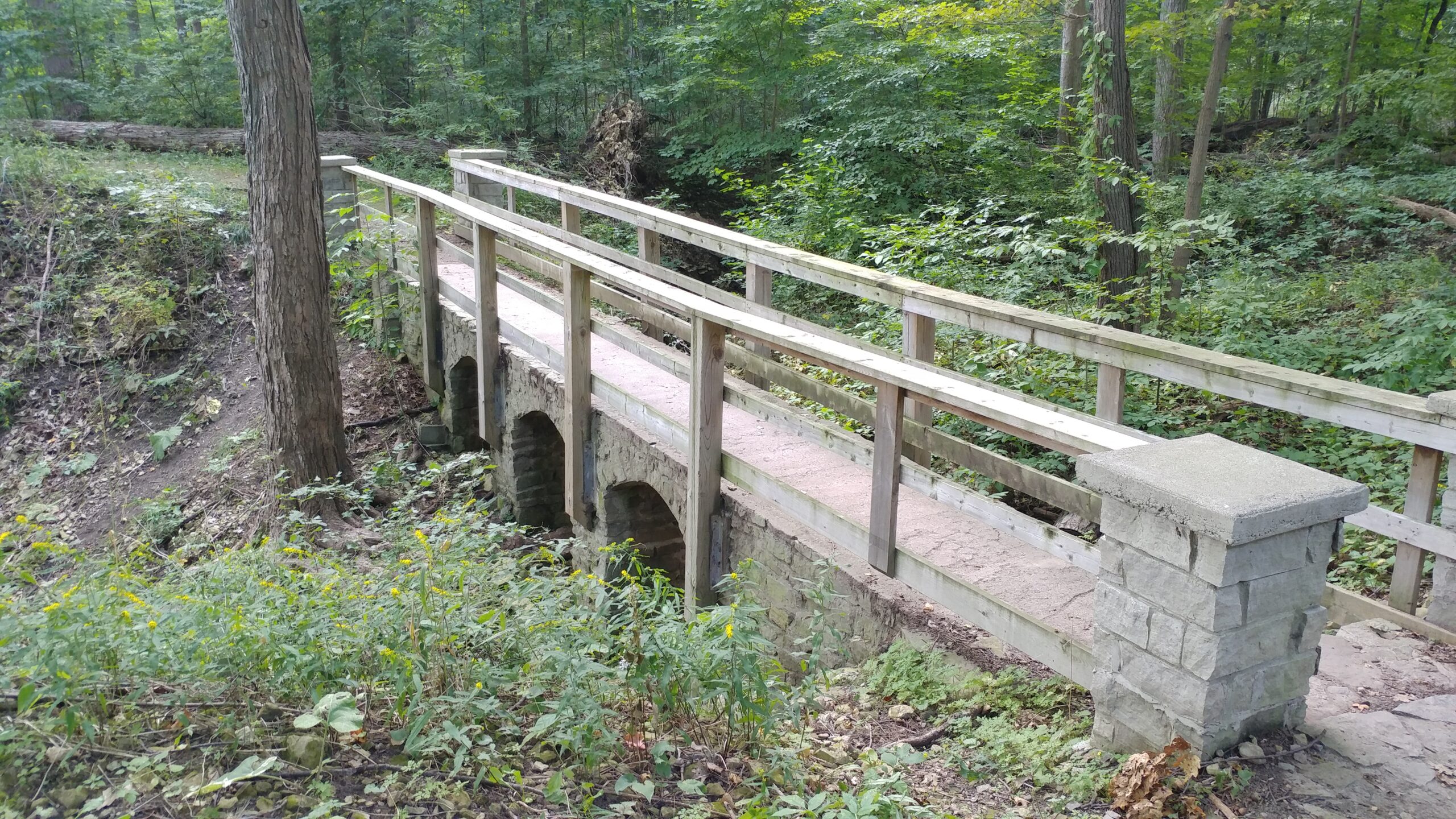
Quite a few Conservation Areas and Tracts can be found along this section of the trail. Scotch Block and Speyside are very pretty but Limehouse is worth spending some extra time at. There are a few side trails within Limehouse and you can check out an old archway that spans over a creek, the rapids are a great sight to see and the old limestone kiln is also a highlight.
As you hike through Scotsdale Farm and Silvercreek Conservation you may come across a few familiar sites as they were used to film parts of The Handmaid's Tale.
As you hike along Boston Mills Road, highly suggest stopping in at Spirit Tree Cidery for a bite to eat and a refreshing pint of cider. I've been here a few times and it never disappointed. It can get very busy so plan ahead.
Club Link: caledonbrucetrail.ca
72 KMs spans the Caledon Hills Club section from Creditview Road and the Cheltenham Badlands to Mono Centre.
Accommodations
There is a single Overnight Rest Area called Hockley Hollow located to the immediate West of Lucille and just outside of Woodside. I haven't camped here myself but I have checked it out. There's a lot of room for multiple tents, a back country latrine and there's a water source just a short ways down the trail.
Trail Highlights
I'd have to suggest once more to check out Spirit Tree Cidery. Not only do they have hot and cold meals, a restaurant and of course the cidery, they also have a small store when you first walk in. I wouldn't say you'd be able to completely stock up if you were hiking multiple days but they would certainly have more than just a few snacks and food available.
Forks of the Credit Provincial Park is very pretty and you'll really enjoy hiking through it. The trail has changed since I hiked through and they have almost added a circular path through the Park only to come out exactly where you came in before heading up Puckering Lane and onward. Could you skip this almost 4 KM "detour"? Sure... but we'll all know you did it.
Unfortunately, you'll have a lot of roadside walking before hitting Glenn Haffy but it too is very pretty and you'll be glad to be hiking through it.
Even if you don't intend to camp overnight, check out Hockley Hollow Overnight Rest area. It is a very pretty site and will extend your hike through the forest a bit more before you get into Hockley Valley Provincial Nature Reserve.
Club Link: dufferinbrucetrailclub.org
The Dufferin Hi-Land section of the Bruce Trail is the second-shortest section at 54 KMs and spans from Mono Centre to Lavender.
Accommodations
There are no on-trail accommodations in this section. Leading up to Mono Centre I didn't have too many issues finding an Uber but you may prefer to contact a trail angel or arrange for a friend to pick you up when you're done hiking for the day.
The club's website also lists a number of AirBnB's and motels in the vicinity.
Trail Highlights
Mono Cliffs Provincial Park is spectacular and it also gives you an excellent first glance at some of the rock formations and crevices yet to come. If you can, plan to spend the entire day in the park - you won't regret it.
Boyne Valley and Mulmer Hills are also very nice and will show you more of those funky rock formations.
Club Link: bmbtc.org
Ah, the Blue Mountains. Some beautiful scenery in this section.
The Club Section will span about 68 KMs from Levender to Craigleith - just as you complete a heft climb up the escarpment.
Accommodations
Another club without any on-trail Overnight Rest Areas. There was a nondescript camp in Petun Conservation Area but whether or not it is still there or permissible, I can't say. Area churches and a stay in Craigleith will be your best options.
Trail Highlights
In the Blue Mountains you're really in for a treat. Noisy River Provincial Park, Nottawasaga Bluffs, Devil's Glen, Nottawasaga Lookout and especially Pretty River Provincial Park are all beautiful places to visit and you'll be taking so many pictures.
Club Link: beavervalleybrucetrail.org
One of the longer section clubs at 118 KMs. The club section starts in Craigleith, just as you enter the Blue Mountains Ski Resort (get ready for a climb) and ends in a tiny Hamlet called Blantyre.
Hope you like climbing because after the Blue Mountains Ski Resort, you'll be navigating the Kolapore Uplands, Duncan Crevice Caves, Old Baldy, dipping down one side of Beaver Valley into Eugenia and Hogg's Falls but back up again, climbing up Beaver Valley Ski hill.
Accommodations
Another club without any on-trail Overnight Rest Areas.
This will be one of the more difficult sections to thru-hike if that's what you're attempting. I can tell you there are several churches along the way and each one of them allowed me to pitch my tent on their property. I'd rather not list them here as I haven't sought their permission to do so. Should that change, I'll update this page and section.
I will point out however, that just past the boundary between sections - 1.5 KMs to be precise - is the Ambrose Camp. Paul and I camped here when we were tackling this section and it was really nice. There is room for at least 3 or 4 tents of various sizes, a fire pit, a nearby stream for water and there's also a covered shed with a sleeping platform along 3 of its sides. There is no door, so not a lot of privacy but at least there's somewhere nearby to crash for the night.
Trail Highlights
As difficult as this section is, it truly is a beautiful section of the Bruce Trail.
As you hike South out of Craigleith you'll get glimpses of Georgian Bay. The Kolapore Uplands were both swampy and full of pine trees making a soft landing for your feet.
The Duncan Crevice Caves have some very cool rock formations to check out so be sure to plan to spend some extra time there.
The Beaver Valley itself is beautiful. From atop Mount Baldy on the East side of the valley to Eugenia Falls, Hogg's Falls and the Epping / John Muir Lookout, there is so much to see. Make sure you have lots of room on your phone or camera for pictures!
Club Link: sydenhambrucetrail.ca
Attention rock hounds!! If you think the crevices and rock formations you saw earlier on the trail were awesome... just you wait to explore the Sydenham section!
Spanning 170 KMs, Sydenham starts in Blantyre and ends on the coast of Colboy's Bay in Wiarton.
Accommodations
Unlike many of the other clubs, Sydenham has a number of options - but that doesn't mean you shouldn't plan your hike carefully.
1.5 KMs from Blantyre is the Ambrose Camp. Paul and I camped here when we were tackling this section and it was really nice. There is room for at least 3 or 4 tents of various sizes, a fire pit, a nearby stream for water and there's also a covered shed with a sleeping platform along 3 of its sides. There is no door, so not a lot of privacy but at least there's somewhere nearby to crash for the night.
16KMs down the trail from Ambrose is the Bighead Campsite. When Paul and I hiked through and even planned to camp here, there wasn't enough space for our tents as well as the fairly large tent that was already there. The description on the Bruce Trail app has been since updated to indicate some kind of shelter at the site, so there may have been some changes since our last visit.
Zero cost to use either site, no reservations needed but they are first-come-first-serve.
The next potential stop - if you're able to make the 28 KM hike in one day - is the Roebuck Family Campground. This campground is a straight shot across from St. Vincent-Sydenham Townline, through the Southern tip of Bayview Escarpment Provincial Reserve and is at the end of a dirt road. The campground offers laundry and showers (probably a great idea after hiking a few days without!). Paul and I camped here and enjoyed our stay.
I'll put a note in here and say that you might be able to reach out to someone at the Woodford Community Center and see if you can pitch your tent on premise. I didn't have to do that as Paul and I were leap-frogging our vehicles as we hiked through this section, but its worth a shot!
If you can do another big day, the Owen Sound KOA is 30.5 KMs further down the trail from Roebuck. Showers, WIFI and taxi distance to Owen Sound makes this a great stop for a couple days to rest and recuperate. The main trail used to go right through the campground but now there's a side trail the exits the back side of the campground and meets up with the main trail on 10th Concession.
6KMs after the KOA you're in the heart of Owen Sound and there are lots of options in terms of accommodations. If you want to stay on the cheaper end of things, you can make your way to Harrison Park. The park is municipally run and can get quite busy.
What I did when I hiked through was hike right by/through Harrison Park and up through West Rocks Management Area. There is a side trail that leads to 7th Street and after that, I hiked a measly 950m to the Nights' Inn Motel. Rooms were clean, bed was comfy and (at the time) reasonably priced.
Depending on your own abilities or day-by-day plans, you could use the KOA, Harrison Park or one of the many hotels/motels in the Owen Sound area as a base of operations and use Uber or taxis to pickup/drop off to various points along the trail as the next Overnight Rest Area is 37 KMs up from the 7th Street Side Trail I mentioned earlier.
The Birch Camp provides space for up to 3 tents and a back country latrine. Fair warning, there is no nearby water source so plan accordingly.
I should mention Bass Lake Park. This campground is off-trail and you'll need to detour along a couple side roads to get to it.
If we followed the example I gave earlier, hike along the main trail for 27 KMs from the 7th Street Side Trail to Lindenwood Road. Turn left onto Lindenwood and make the first right onto Hwy 17. In all, you're walking 30 KMs from 7th Street Side Trail to Bass Lake but its a shorter day than the 37.5 directly to Birch. That said, its a 34 KM hike from the Birch Camp to Wiarton. A stop at Bass Lake will make that a 44 KM hike assuming you go back to Lindenwood Road.
So you can see how various decisions will have a great impact on your daily hike schedule!
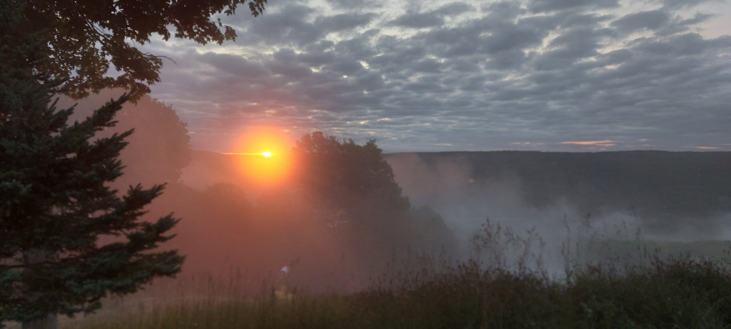
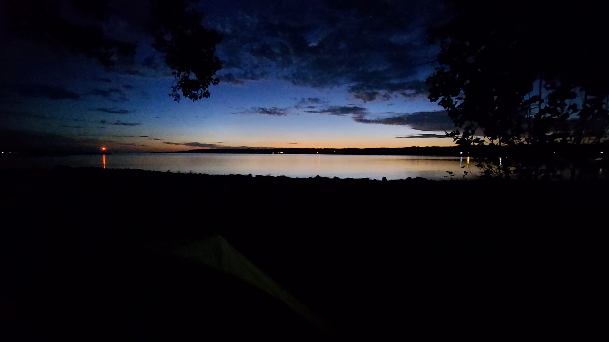
Naturally, once you're in Wiarton, you'll have a number of options for accommodations including Bluewater Park Campground which I highly recommend as you'll be watching the sun set and rise over the bay from the comfort of your tent!
Trail Highlights
Sydenham has a LOT of roadside walking so be ready for that.
Roadside walking doesn't really provide a lot of things to look at but the section is not without it's highlights.
Bognor Marsh was quite cute and a pleasure to hike throught. Funny story - Paul and I tried to take the main trail through the Marsh but had to backtrack and and take a side trail - beavers had dammed a creek and had flooded the trail!
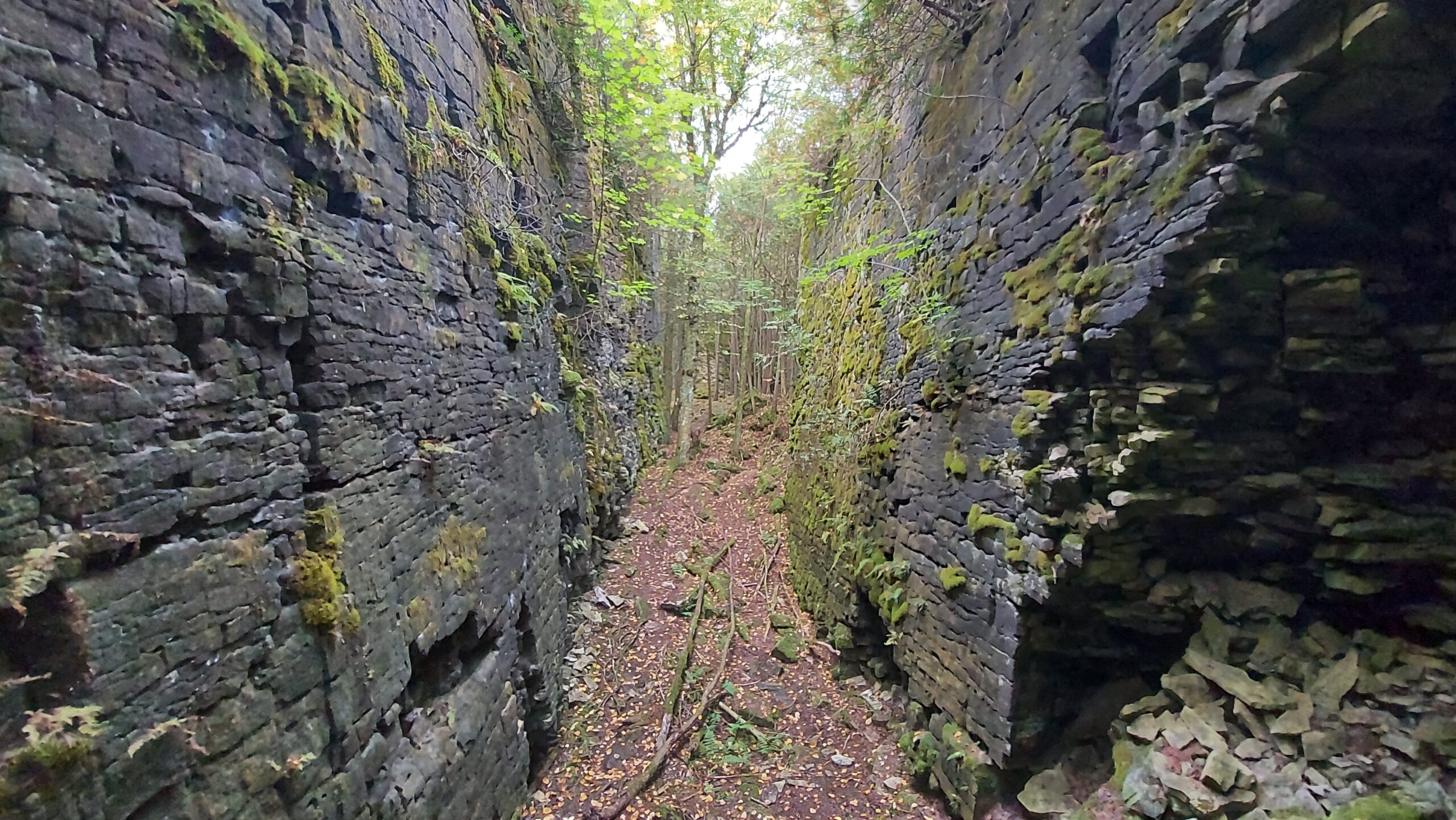
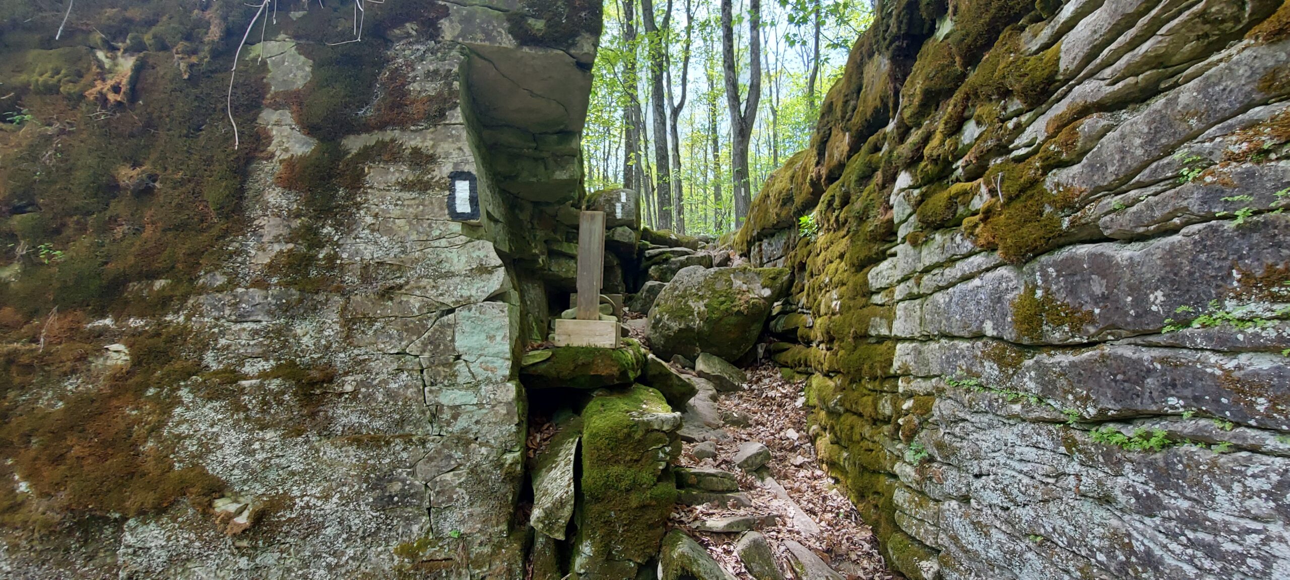
A short ways after Bognor Marsh is the tiny Hamlet of Woodford. The big thing to see here is a fantastic crevice that you get the option to hike through or detour around.
I was quite giddy when we came upon a sign that said "If you're carrying a large backpack or, are claustrophobic, you may want to use the detour route". Sure enough, it was a little bit of a tight squeeze and the crevice was at least 8-10 feet deep but it was awesome!
The rock formations and crevices don't stop there at Woodford but you do need to get closer to Owen Sound. As you approach the city, you'll come upon a Watch Tower which overlooks the valley. Not a lot to see other than tree tops but you do get a glimpse of the bay. Continue following the main trail and you'll get to pass through a sheer rock face that stands at least 2.5 stories and you'll have the opportunity to explore a bit.
West Rocks and Pottawatomi were beautiful - you'll just have to go see it for yourself.
When you get to Skinner's Bluff - you'll start to take in Colboy's Bay and a beautiful bay scene.
Club Link: pbtc.ca
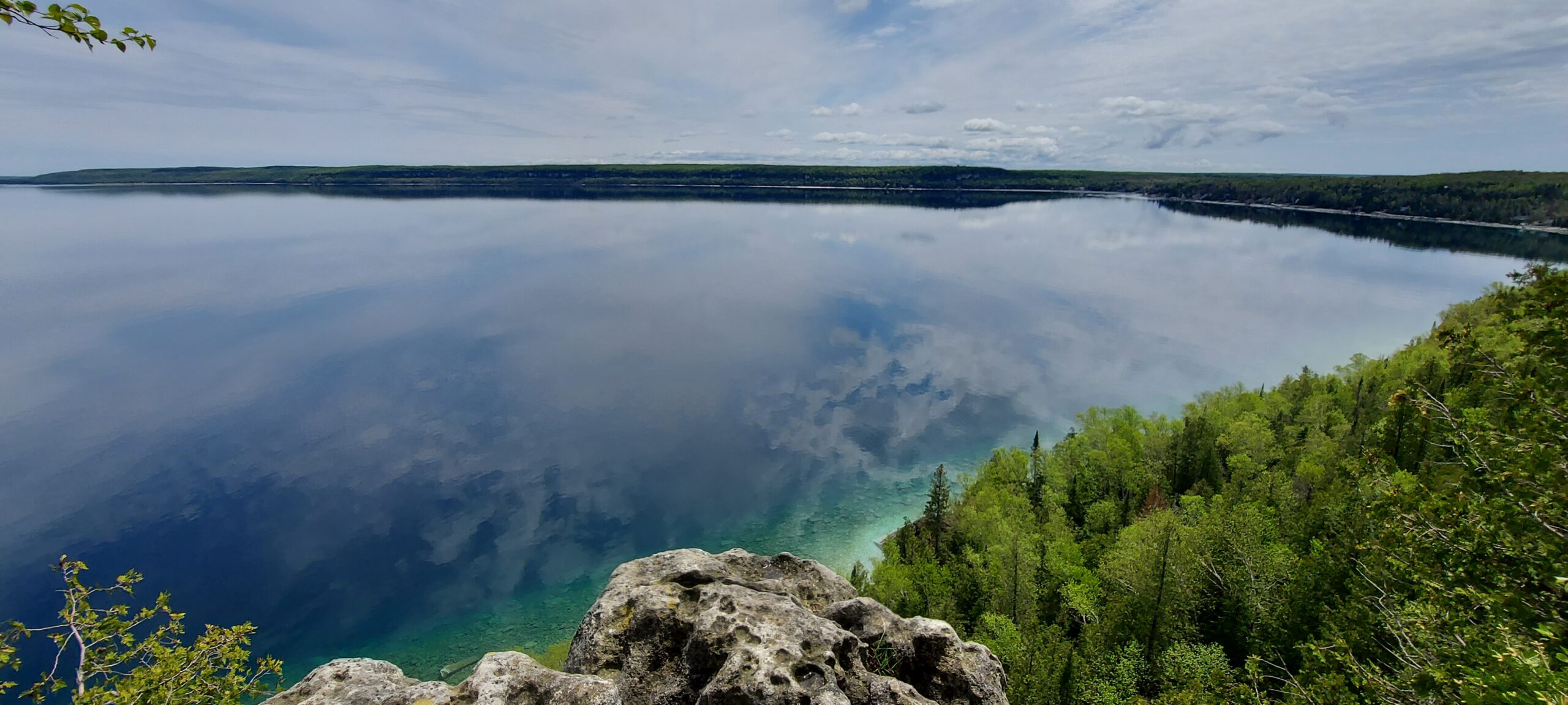
160 KMs of breathtaking views from Wiarton all the way to Tobermory.
There is so much to say about the Peninsula Section...it really would be hard to over sell it.
Accommodations
There are a couple stretches that you'll need to figure out something in terms of getting to and from an accommodation but like Sydenham, there are quite a few options for overnight stops.
Starting in Wiarton, I can't recommend Bluewater Park Campground. The main trail runs literally through the campground and you are also close to downtown, restaurants and a number o of stores.
The next on-trail option is 33 KMs down the main trail at Cape Croker Park. This is a great indigenous-owned and operated park. There are lots of tent sites, some with hydro, showers, a small store for refreshments and firewood and if you're staying over a weekend, you can partake in storytelling by one of the band's elders each Saturday evening.
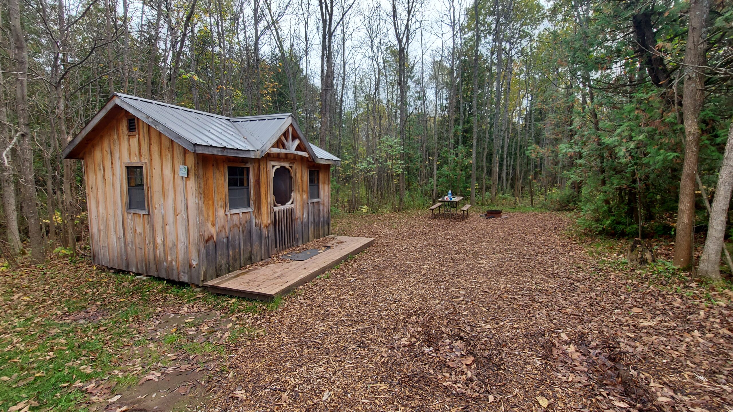
10 KMs down the main trail is Hope Bay Campground. I've stayed here a few times and used it as a base of operations while I hiked the Peninsula section. They have tent sites but I do suggest getting one of the bunkies. They are warm and cozy and it will give you a bed to sleep on.
Lion's Head (town) is the next available on-trail accommodation you'll be able to find. There are both AirBnB's and a municipal campground available. Down side is that it is 37 KMs from Hope Bay and in my opinion, Lion's Head Provincial Nature Reserve was the most difficult portion of the Bruce Trail. There was a lot of climbing and navigating all kinds of rocks and rock faces.
My suggestion is to use Crabby Cabbie (Ph: (519) 477-5950 or find them on Facebook). Crabby Cabbie services the entire Bruce Peninsula. In my case, I had them pick me up on Rush Cove Road and brought me back to Hope Bay Campground and the following morning drop me back off at Rush Cove Road and I hiked into Lion's Head.
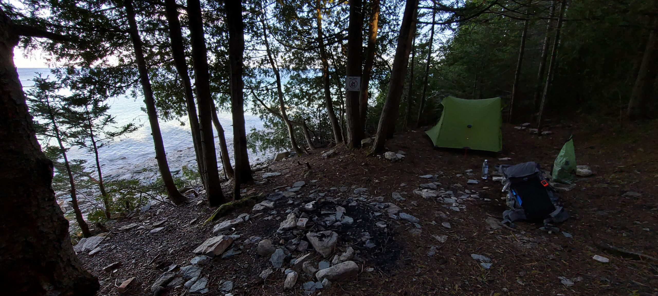
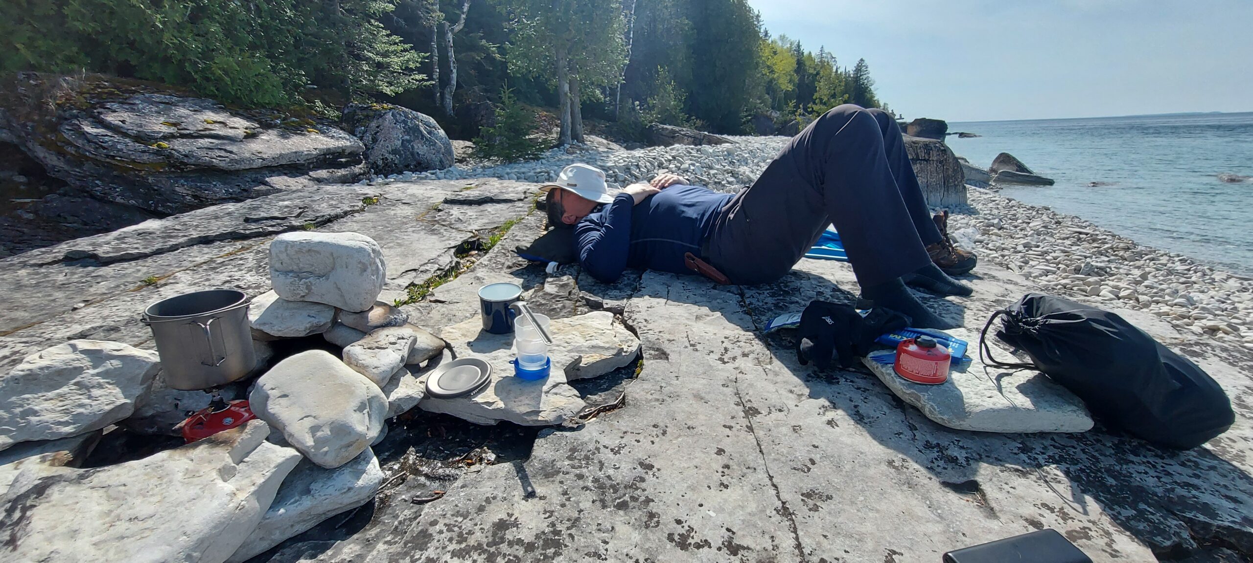
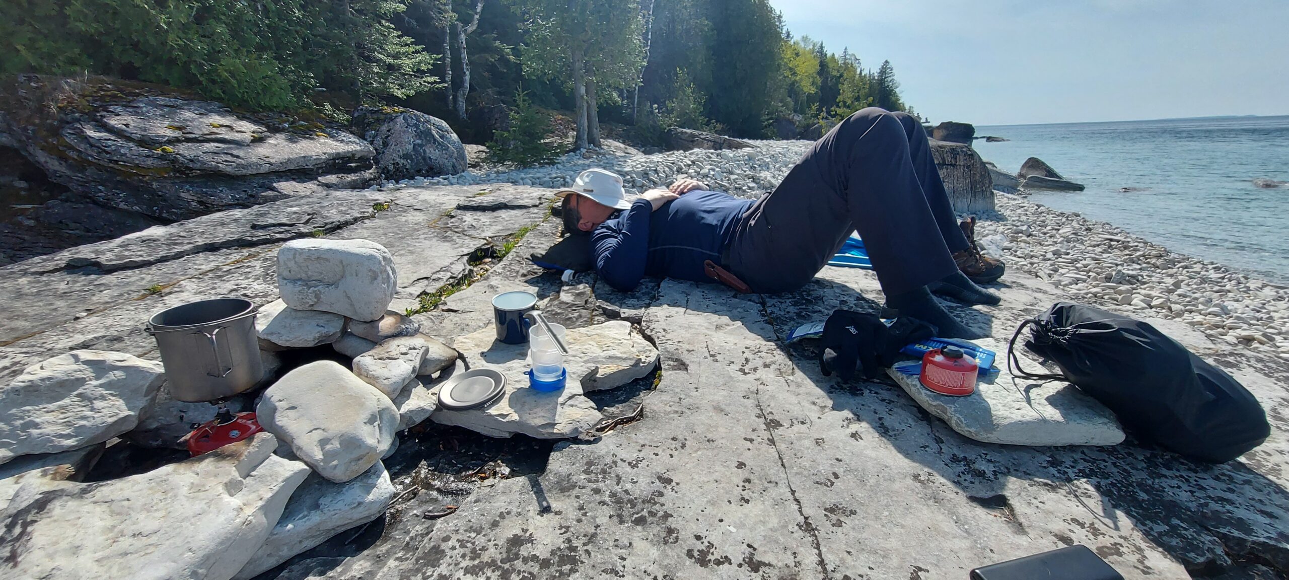
From Lion's Head, even though its only 9.5 KMs, spend the night at Reed's Dump. You'll need to use the side trail and navigate down the escarpment to the water's edge but the site has room for multiple tents and the view and sounds are spectacular!
The next day, hike 25 KMs to Lindsay Road 40, turn right (instead of Left to continue on the trail) and hike another 1 KM to Mountain Trout Campground.
GREAT Campground! I was using my Garmin InReach to communicate with the campground over email as I had asked if I could upgrade my tent site for a bunkie. I was in rough shape, needing a hot shower and a good bed to sleep in and they not only had a bunkie available for me (actually us - Paul met me at Mountain Trout Campground and hiked the rest of the Peninsula Section with me!) but they put an oil heater in the bunkie and got the place warmed up for us.
Mountain Trout has a small store and sells ice cream and a few refreshments but nothing really in terms of food.
Now comes the fun stuff!!!
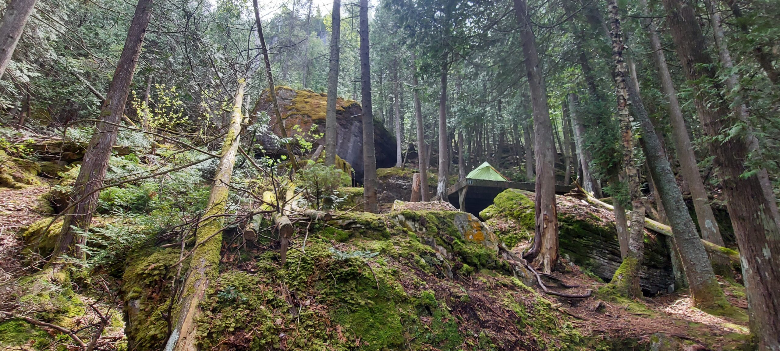
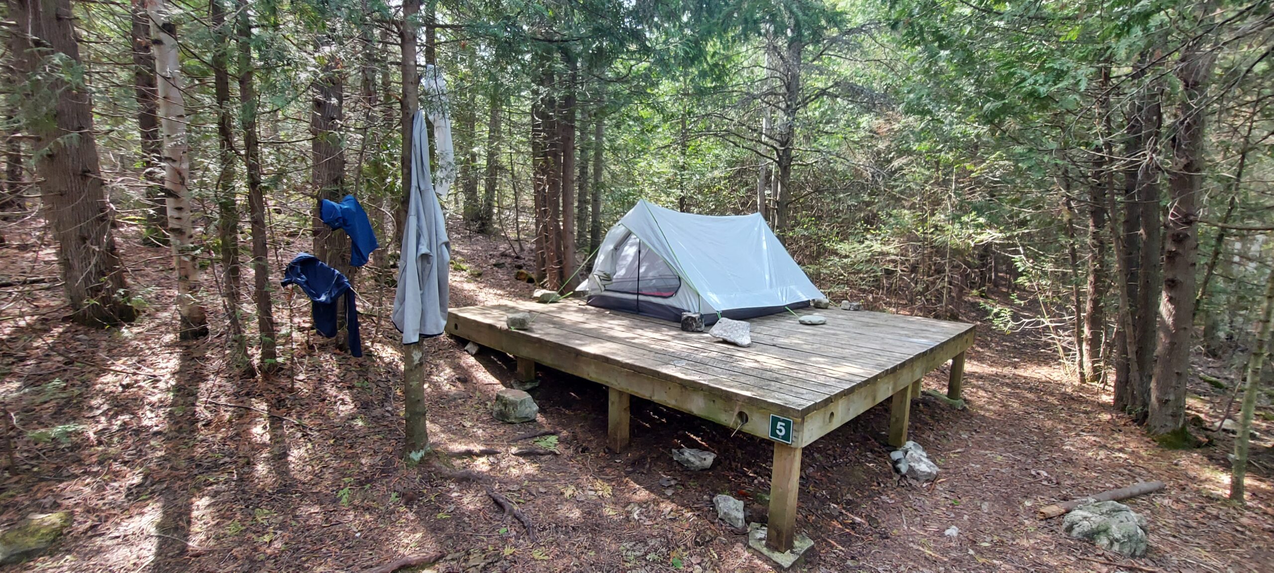
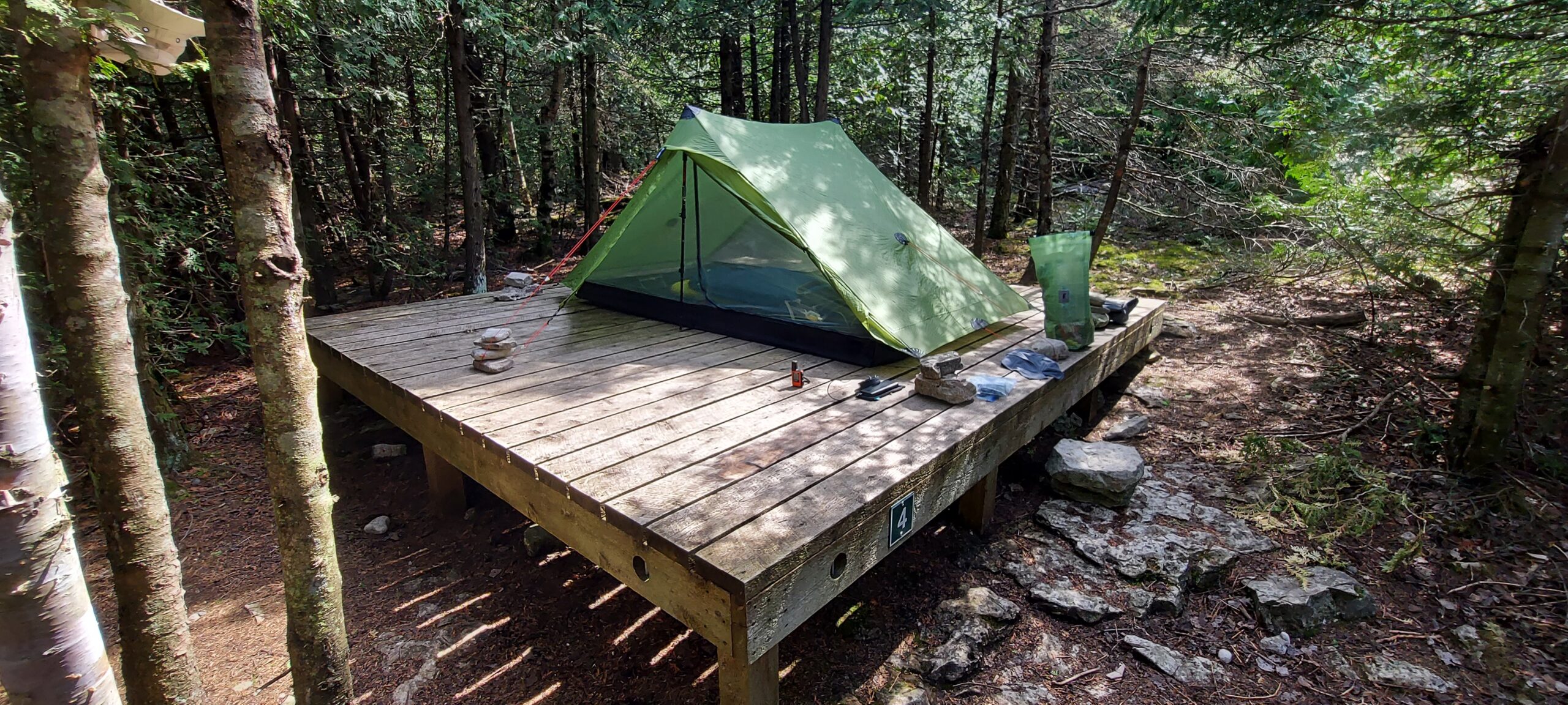
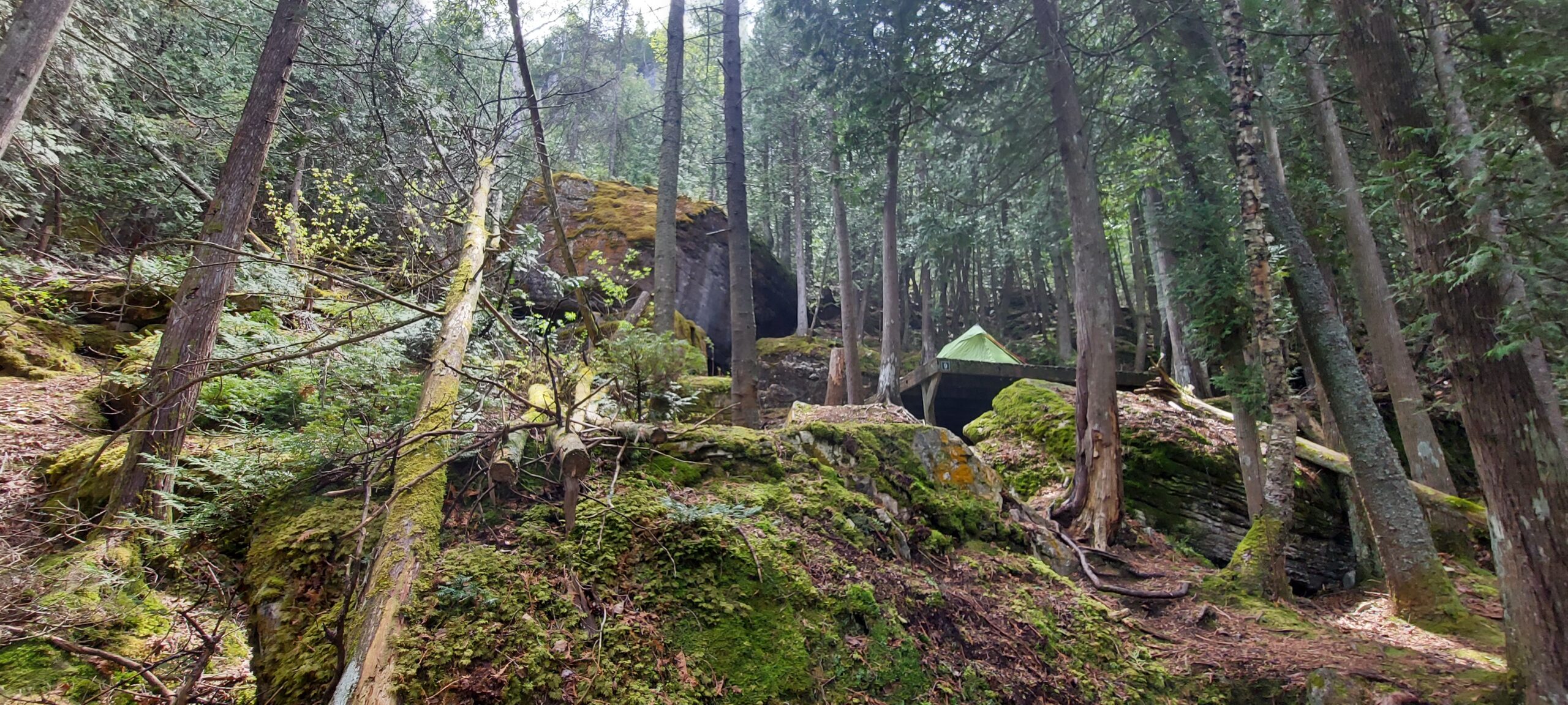
After Mountain Trout Campground, hike the 1 KM down Lindsey Road 40 to meet up with the main trail again, then another 16 KMs to High Dump Overnight Rest Area. This is within the Bruce Peninsula National Park so you'll need to reserve WELL in advance but it is, by far, my favorite campsite on the whole trail.
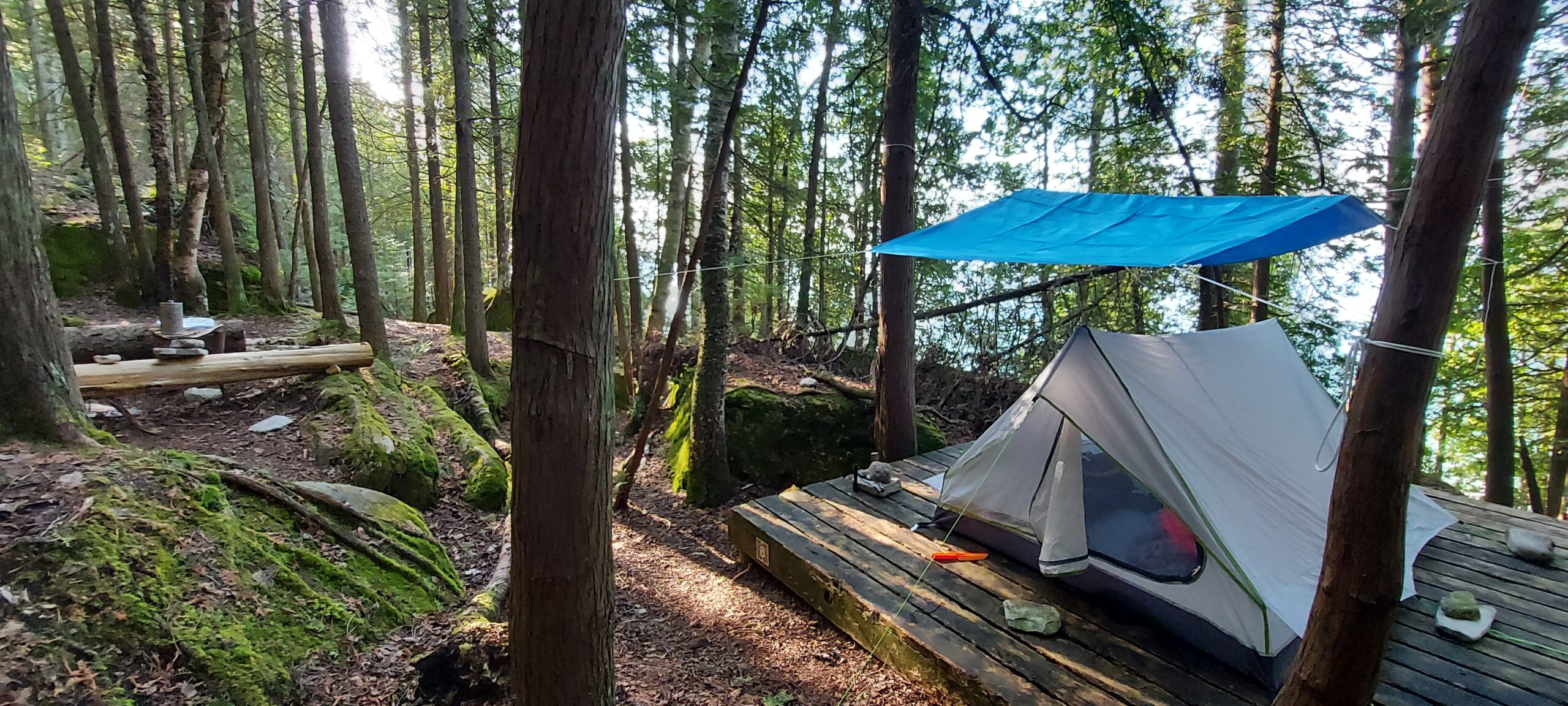
Paul and I had the furthest 2 sites and we were tucked well into the trees and had lots of privacy. Each site has a 12x12 wood platform and there are bear hangs for food as well as a composting toilet.
9 KMs down the main trail from High Dump is Stormhaven. Like High Dump, this campground is within the Bruce Peninsula National Park and will need to be reserved WELL in advance. Bear hangs, composting toilet and a great view all to be had.
Final stretch!! Stormhaven to the town of Tobermory is 21 KMs (optional side venture to Cypress Lake if you want to spend extra time in the Park and check out the Grotto and side trails).
Lots of accommodation options in Tobermory but, as it is a very tourism-focused town, hotel rooms can book quickly.
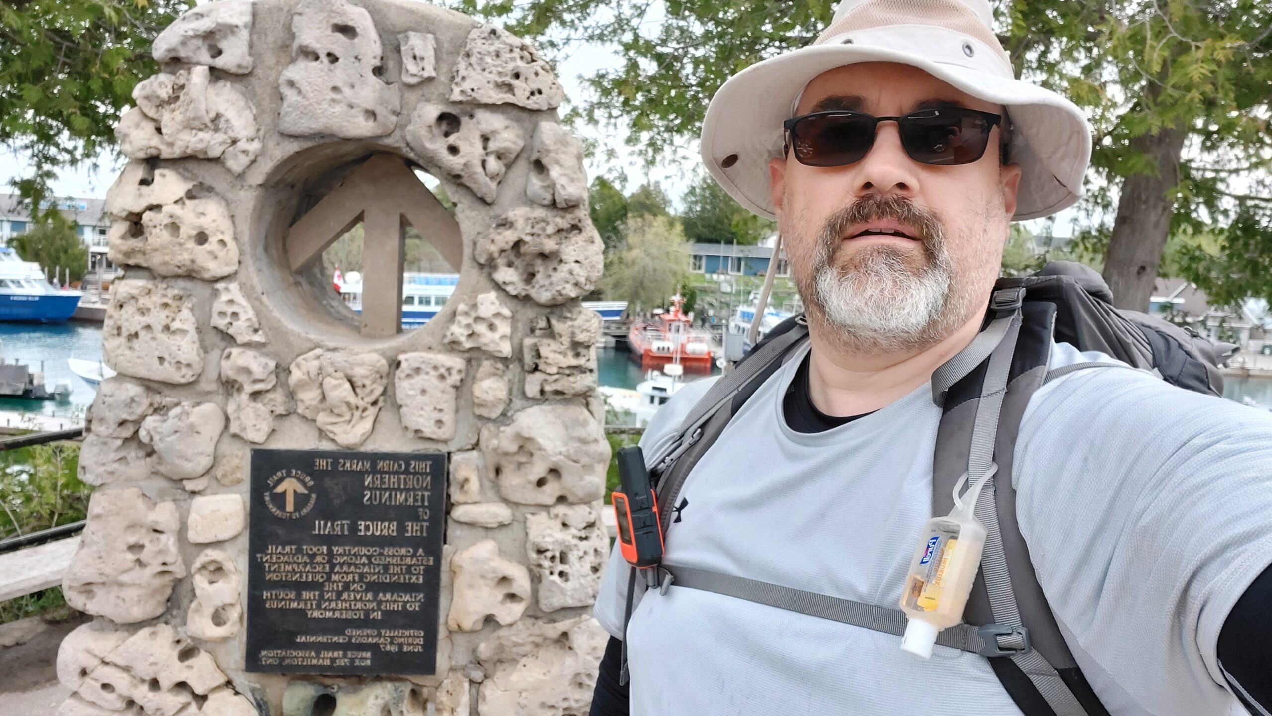
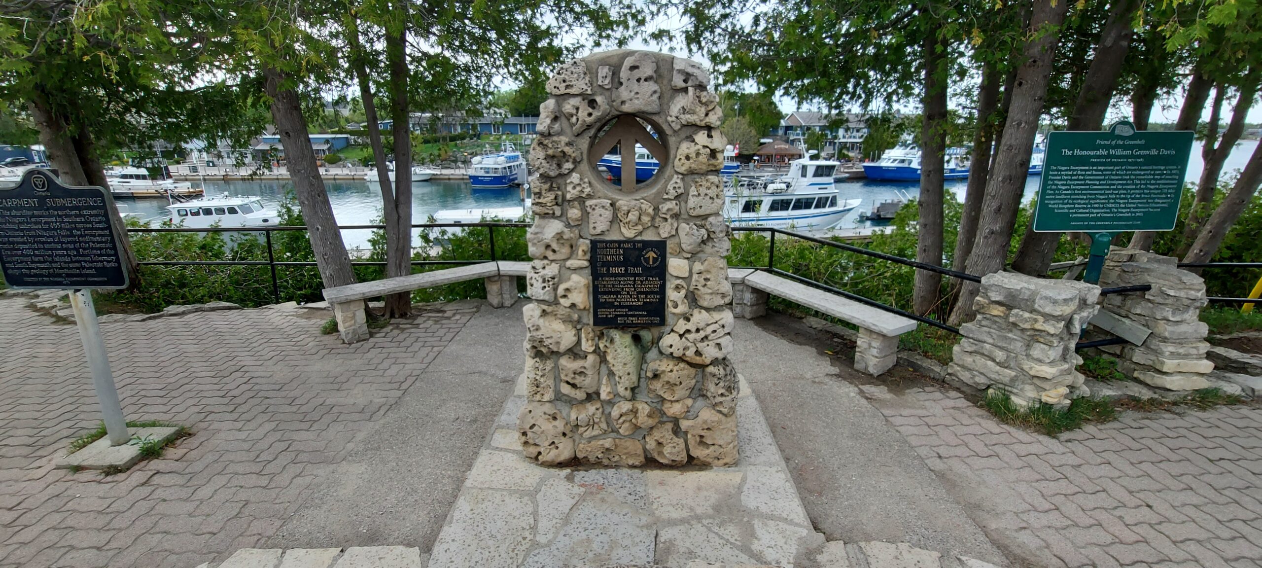
Be sure to take your picture with the cairn and get yourself a well-deserved pint at the Tobermory Brewing Company.
Trail Highlights
Um.... all of it!
Coming out of Wiarton, you'll come across a metal, spiral staircase that leads up to Spirit Rock Conservation Area. Don't make that immediate Right to continue down the main trail but instead - continue inland and check out the Corran Ruins.
I already mentioned a few things about Cape Croker and Hope Bay - the scenery is breath taking!
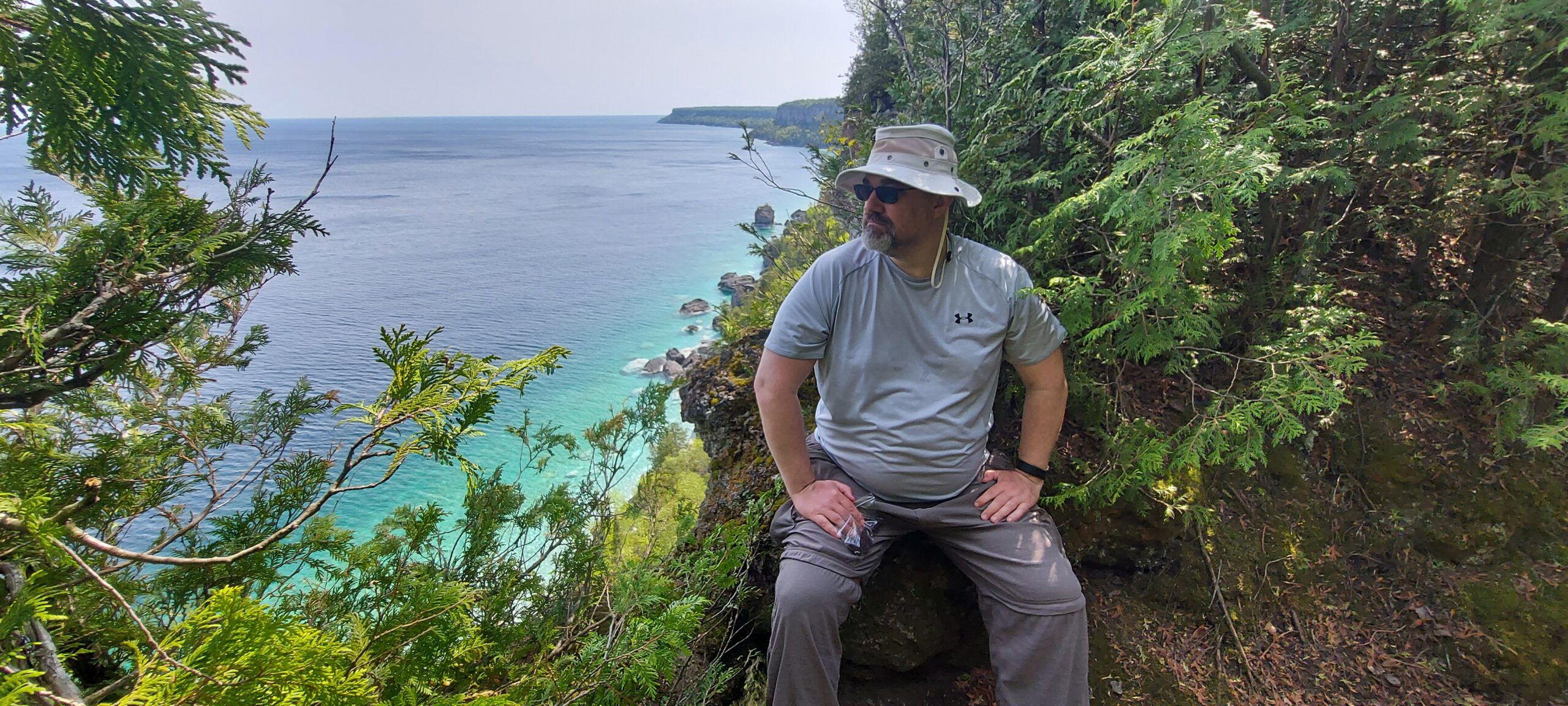
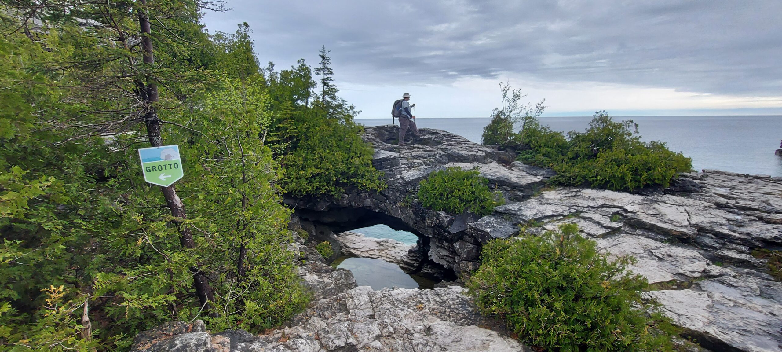
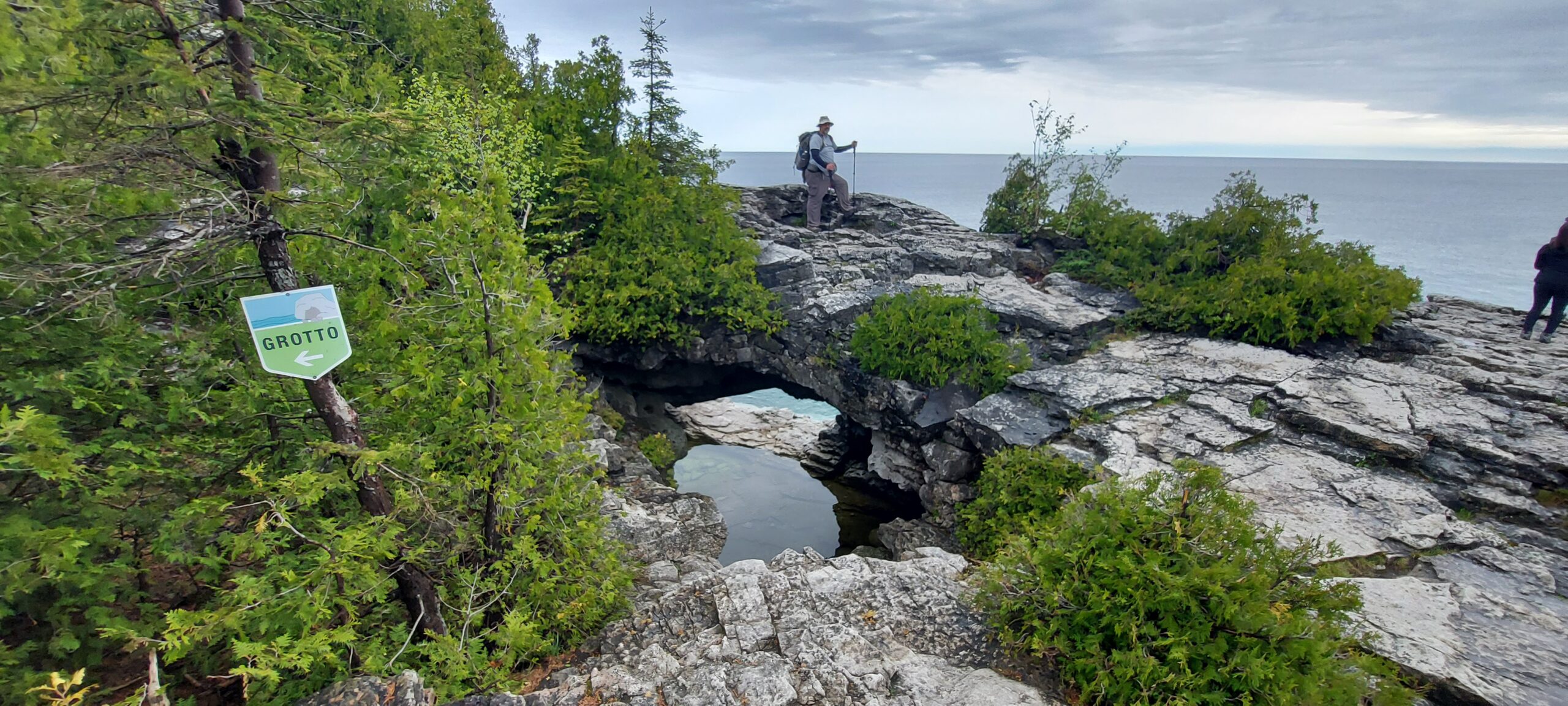
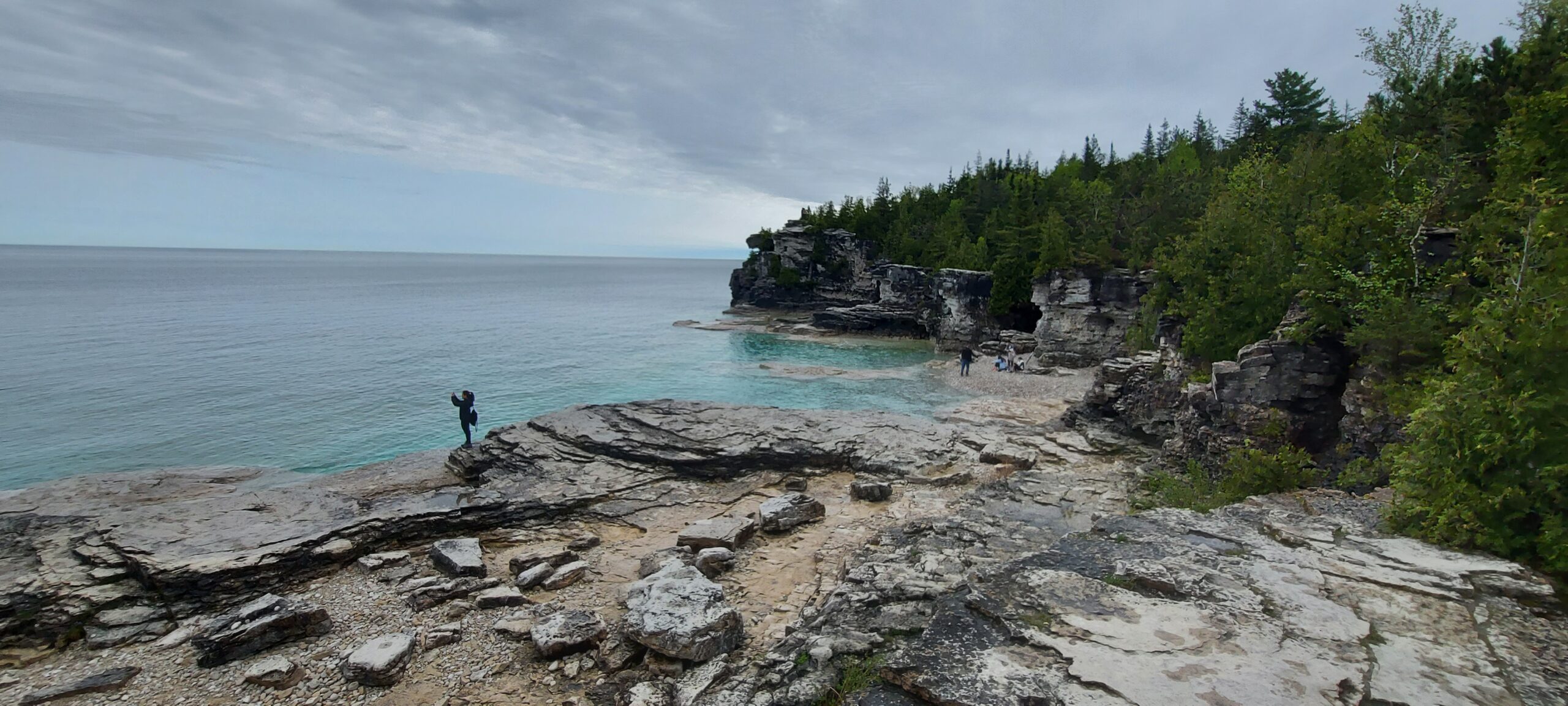
Within the Bruce National Park, there's lots to see and do. There are nearby caves, a lookout, the Grotto... highly recommend sticking around for a few days to explore if you can.
